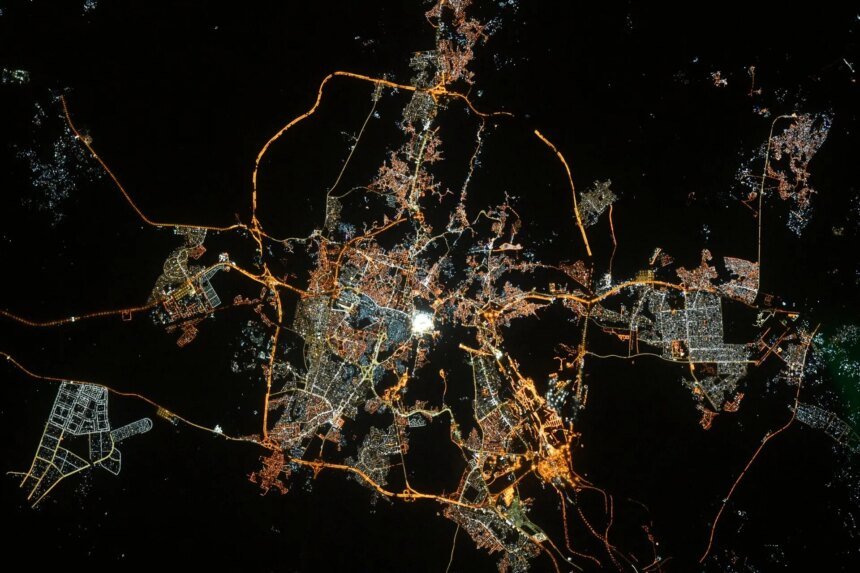
Like a sponge full of water that shrinks when it is emptied, layers of the earth saturated with groundwater behave in the same way. A study conducted in Mecca, Saudi Arabia, revealed that the intense withdrawal of water from the ground leads to a gradual subsidence of its surface.
The Mecca region depends to a large extent on groundwater for drinking and agriculture, but the rate of consumption is much higher than the rate of natural renewal of water, which causes compression in the sedimentary layers, leading to a subsidence in the Earth’s surface, which was monitored by this study conducted by Dr. Yahya Makki, from the Department of Geomatics at the College of Architecture and Planning, King Abdulaziz University in Jeddah, and published in the Civil Engineering Journal.
The researcher found that the average subsidence was 4 centimeters per year, and in some areas it reached 15.2 centimetres, which the study attributed to the variation in soil type, as it showed that two geological types showed the strongest correlation between increased rates of water withdrawal and the occurrence of ground subsidence, namely the Abbassa Formation and the “diorite-pyroxenite” rock units.
Monitoring this ground subsidence does not mean that Mecca is facing danger in any way, as the phenomenon is gradual and mainly linked to the characteristics of the soil and the rates of groundwater withdrawal, and these are matters that the competent authorities are actually following up through monitoring and technical studies, in a way that helps contain any potential effects.
The Abbassa Formation is located east and southeast of Mecca, and consists of ancient sedimentary layers that include sandstone, mudstone, and gravel, formed over millions of years by ancient floods and sedimentation in the valleys. Its importance lies in its ability to store groundwater thanks to its high porosity, which makes it an important source of water in dry areas, but this same characteristic makes it more susceptible to compression when excessive water pumping, which may lead to subsidence of the earth’s surface and the appearance of ground cracks.
As for the “diorite-pyroxenite” units, they are among the oldest rock formations in the western Arabian Peninsula, and are spread within the Arabian Shield, including the mountainous areas surrounding the east and southeast of Mecca. They are very hard and dense igneous rocks formed from the cooling of magma deep in the earth millions of years ago, and are characterized by the presence of natural cracks and fissures capable of storing groundwater.
Despite their solidity, the draining of water from these gaps may change the distribution of pressures within the rocks, which may lead to local ground movements or a gradual subsidence of the surface.

How did the researcher monitor the ground landing?
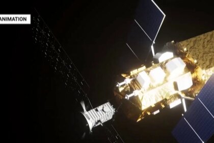
In monitoring the ground landing, the researcher relied on images of the Synthetic Aperture Radar (SAR), which is present on the European Space Agency’s Sentinel-1A and Sentinel-1B satellites, and can take very accurate images of the Earth’s surface to detect any very small changes, even if they are a few millimeters.
By examining radar images from 2016 to 2025, the researcher captured changes in the Earth’s surface over time, and linked them with data on groundwater withdrawal rates, to confirm the relationship between increasing withdrawal rates and ground subsidence, and compared the results with different types of soil and rocks.
Dr. Mohamed Youssef, Professor of Hydrogeology at the Desert Research Center in Egypt, says that the researcher’s success in linking advanced remote sensing techniques such as Synthetic Aperture Radar (SAR) with field hydrological data (well withdrawal rates) and geological maps represents one of the most prominent strengths of this research work.
He added in statements to Al Jazeera Net that this integration is the modern trend in hydrogeology studies as an alternative to traditional ground measurements that are expensive and spatially limited.
He also praised the researcher’s use of an archive of radar images for a period of approximately 9 years, which gave accuracy to the results and allowed for monitoring long-term subsidence behavior, and not just fleeting seasonal changes.
Practical solutions
Regarding the solutions that can be implemented to avoid a problem in the future, Muhammad points to a group of solutions, the most prominent of which is what is known as “directed artificial recharge of reservoirs.” We should not wait for the scarce rainwater to replenish the reservoir naturally. Rather, the groundwater reservoir can be artificially injected with treated floodwater or triple-treated wastewater through special injection wells to raise the hydraulic pore pressure and stop the compression.
The researcher also suggests moving to managing the reservoir through digital mathematical models that determine the “hydraulic safety limit” for each well. If the level approaches the geotechnical critical point, the well is closed or its flow is reduced.
It is also possible to adopt consecutive radar (InSAR) techniques, such as those used in the study, to link instantaneous subsidence maps to well withdrawal maps, which contributes to monitoring danger spots before cracks occur in the infrastructure.
Finally, Muhammad points out the importance of “water substitution and restructuring agriculture,” as he suggests preventing the use of pure groundwater for water-intensive agricultural purposes, and replacing it with desalinated or treated water, while applying smart irrigation techniques (closed drip irrigation) and cultivating crops with low water requirements.