Published on 6/24/2026
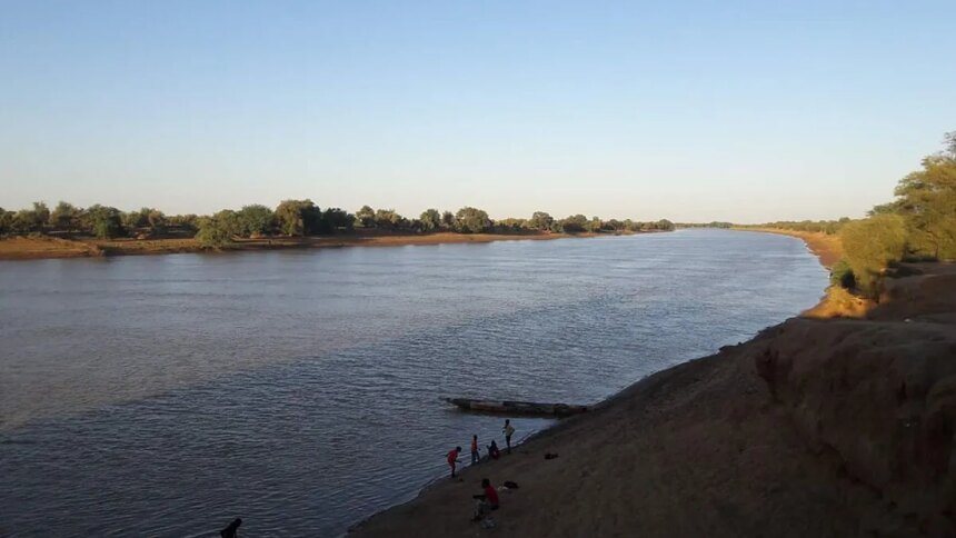
The file of river navigation on the Senegal River has returned to the forefront of discussion among the countries of its basin, as a potential tool for breaking the isolation of Mali, a landlocked country searching for new outlets to regional and international markets.
Last Saturday and Sunday in Bamako, the capital of Mali, the Senegal River Investment Organization (OMVS) held the sixty-fourth special session of its Council of Ministers, and at the top of its agenda was an assessment of the progress of the navigation project on the Senegal River, a file that Mali is preparing strategically.
In addition to navigation, the agenda included governance of the organization’s system companies, maintenance of electricity production and transmission facilities, and following up on the implementation of joint projects in the fields of water, energy, and transportation.
Bamako views river navigation as an alternative to land and rail routes, which are described as expensive and subject to multiple restrictions. The project provides for the creation of a navigation axis extending about 905 kilometers between the city of Saint-Louis in Senegal and the city of Embedidi in western Mali. This waterway, when completed, may allow the transport of approximately 10 million tons of goods annually, within a multimodal system that brings together river, land and railway transport, in addition to port and water facilities. For Mali, it could contribute to reducing logistical costs, securing the country’s supply, and stimulating the economy of the regions adjacent to the river.
The navigational aspect is handled by the Company for the Management and Exploitation of Navigation on the Senegal River (Soguenave), which was established in 2011 and whose mission is to restore and promote sustainable navigation between Saint-Louis and Embedded.

Technical progress and the horizon of 2035
The project has recorded progress in recent months, as in July 2025 Sogineve launched dredging and preparation work for the canal, which included removing rock sills, dredging about one million cubic meters of material, and installing signal equipment to ensure navigation. Last March, a strategic framing study was launched to draw a road map by 2035.
The Bamako meeting also brings to the forefront another function of the river as a regional corridor for movement and exchange, which may reduce the cost of transportation, shorten delivery times, and enhance market integration for economic operators and residents of the banks. However, the challenge remains great, as the success of the project, according to the African News Agency, requires continuous maintenance of the canal, well-performing port structures, a reliable navigation signal, sustainable financing, and close coordination between member states. Based on this ability, it is expected to measure the extent to which the project has become an actual tool for breaking the isolation from Mali and the entire Senegal River Basin.