Published on 6/29/2026
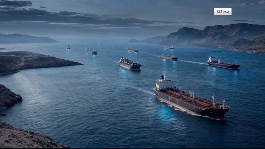
Currently, five different maritime routes appear before ships and tankers entering and exiting the Strait of Hormuz, varying in terms of reference, procedures, and political and security considerations for each party, in a scene that reflects the complexities of the phase that followed the last war in the region.
The traditional international route represents one of these corridors. It was approved in 1968 by the International Maritime Organization, and extends from the Sea of Oman to the east through two parallel entry and exit corridors between the Iranian coast to the north and the Omani coast to the south.
According to a report prepared by Shaima Boualem based on an analysis of Al Jazeera’s data unit, major changes occurred in navigation traffic in the strait after the war and the Iranian and American measures that resulted from it, as new routes emerged that reflect regional and international competition over control of this strategic waterway.
For its part, Iran has specified another route that begins from the eastern entrance to the Strait, and is located south of Hormuz Island for incoming ships and south of Lark Island for outgoing ships, and Tehran presents it as the legitimate route subject to its full supervision.
On the other hand, the US Central Command determined a southern route that it declared a safe and recommended corridor free of naval mines, starting from the Sea of Oman and deviating within Omani territorial waters, passing south of the Omani islands such as “Palmyra” and “Salamah,” away from areas of friction with Iran before returning to the entrance to the Gulf.
Omani proposal
On the third hand, the Sultanate of Oman proposed a temporary corridor off its coast, in coordination with the International Maritime Organization, to the north and south of the existing navigation routes, where ships will be collected and communicated with to inform them of the departure date and the appropriate route.
Between these four paths, there is a fifth, unspecified path, through which ships pass that turn off their automatic identification devices or stop broadcasting their locations, which makes monitoring them difficult and temporarily evacuates them from maritime surveillance systems.
Al Jazeera’s report, which was based on the “Kepler” platform specialized in maritime shipping, revealed a clear shift in navigation patterns after the US Central Command announced on June 20 the adoption of the Southern Corridor.
According to the platform, in the five days prior to the announcement, specifically on June 15 when the memorandum of understanding was signed between Tehran and Washington, 91 ships crossed the strait, and none of them used the southern corridor, while 36% took the Iranian corridor and 62% took unspecified routes.
Statistics showed that after the announcement of the US Central Command, specifically the period between 20 and 27 June, the number of ships increased to 303, and the share of the southern corridor jumped to 29%, compared to the decline of the Iranian corridor to 21%, the increase in the use of the international corridor to 11%, and the decrease in unspecified routes to 39%.
The report concluded that the dispute over these routes goes beyond maritime navigation, as Iran sees the US Southern Passage as an attempt to withdraw ships from its scope of supervision, while Washington supports the corridor as a safer and freer path in confronting Iranian challenges.
Passing ships still face the possibility of being targeted in an area that is still open to tension, which makes choosing the appropriate route a matter of life or death, at a time when international and regional authorities are struggling to determine the fate of this vital corridor for the world’s economy, as Boualem explains.