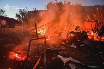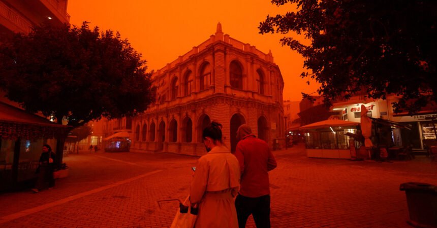
A storm off the coast of Portugal and the heat dome over central Europe have worked together to produce conditions in the atmosphere that are forcing dust high into the air in Africa. Winds are carrying the dust as far away as France and Britain, where, as it falls to the ground, it may bring a reddish tint to the cities and towns still baking in one of Europe’s worst heat waves in years.
The air pattern is moving high above Europe in waves, and along its edge it is bringing a chance of rain and even thunderstorms, first to Spain and Portugal on Thursday. By Friday and Saturday, it may reach southern England, while France has a slightly higher chance of rain on Sunday.
When the dust mixes with rain on its way back down to earth, the phenomenon is sometimes referred to, somewhat sensationally, as “blood rain.”
This week, the concentrations of dust carried from Africa are likely to be minimal: about the same level as the 30 or so similar dust storms that occur every spring and summer across Europe.
At its highest concentrations, which occur most rarely, the dust can make rain or even snow look red. More often, the color is undetectable to the naked eye in the suspended drops until the rain splatters on something and leaves a muddy orange residue.
With an increase in global temperature, experts believe it is possible that hotter temperatures and precipitation in northern Africa will increase the concentration of dust lofted above, according to research conducted by Copernicus, the European Union’s space agency. If that happens, dust storms over Europe could become less frequent — but more intense.
Europe isn’t the only place Saharan dust travels. Often it crosses the Atlantic with the trade winds, which blow east to west, sometimes reaching the Americas, especially Florida.
Most of the time, the lofted dust will create a milky-looking sky during the day. It can refract light at sunrise and sunset, making those moments look especially vibrant.